
Area guide · Northeast Charlotte
Living in University City, Charlotte
University City is an area of northeast Charlotte, not a separate town. It grew up around UNC Charlotte and University Research Park, and today it is shaped as much by the LYNX Blue Line, Interstate 85, and a web of wide suburban arterials as by the campus itself.
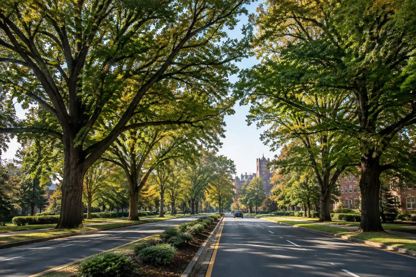
That mix makes it hard to summarize in one sentence. Some homes sit within a short walk of a light rail platform; many others are a drive from the nearest station. Some streets back onto wooded creek corridors; others are firmly commercial. This guide explains the pieces so you can judge an individual address on its own merits.
What defines the area
Three anchors define University City: UNC Charlotte's main campus, the employment district known as University Research Park, and the northern end of the Blue Line, which reached campus when the Blue Line Extension opened in 2018.
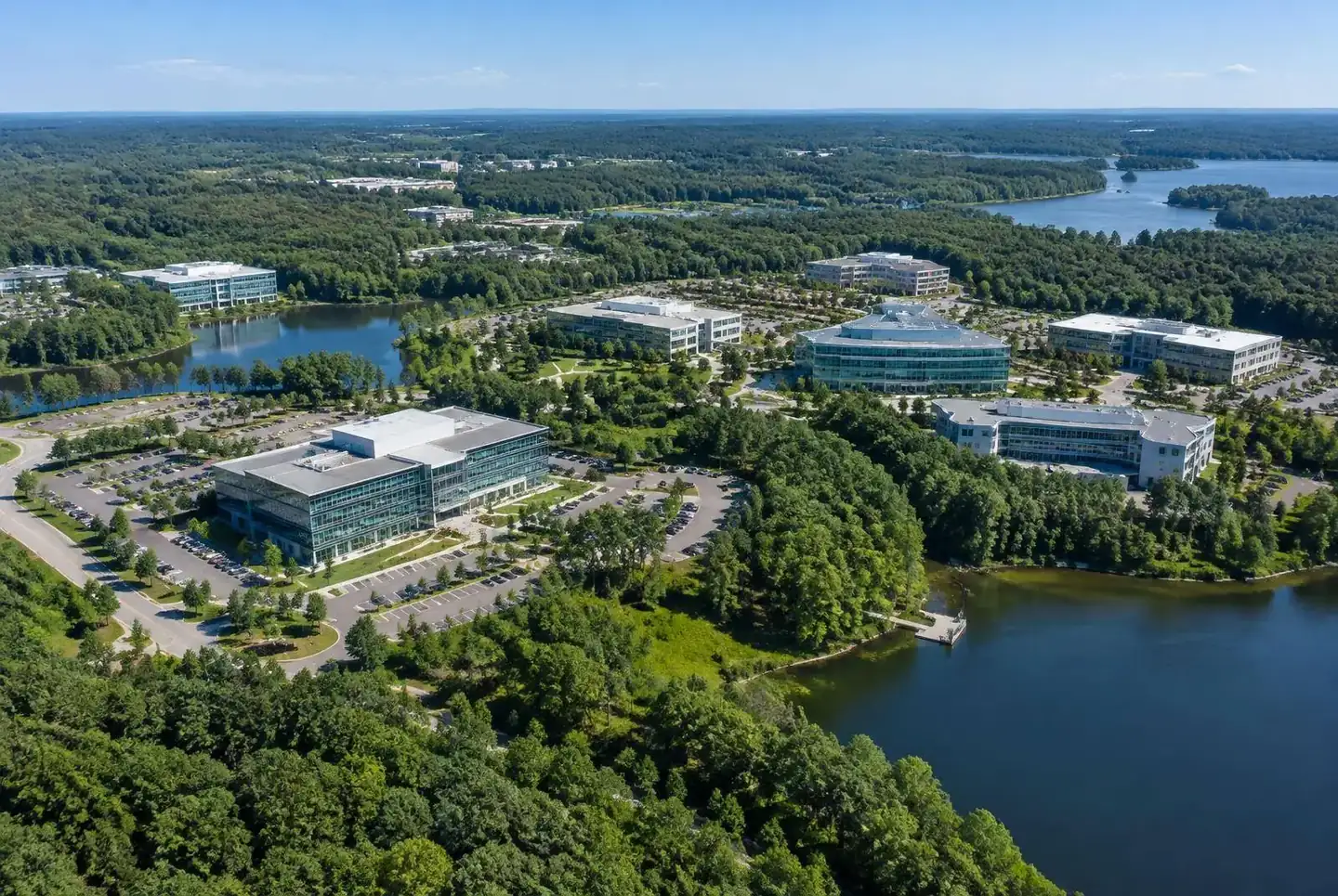
Around those anchors you'll find apartment communities, established single-family subdivisions, townhome developments, shopping centers along W.T. Harris Boulevard and North Tryon Street, a hospital campus, and wooded greenway corridors that follow area creeks.
University City Partners, a nonprofit that manages the area's municipal service district, uses its own defined boundary for planning and programs. Real estate listings, mapping apps, and residents often use the name more loosely. When it matters, ask which definition someone is using.
Understanding the location
University City sits roughly between I-85 and I-485 in northeast Charlotte, with North Tryon Street (US-29), University City Boulevard (NC-49), and W.T. Harris Boulevard as the main internal spines. Uptown Charlotte is to the southwest; Concord and Concord Mills are to the northeast, outside Charlotte city limits.
A Charlotte mailing address or a particular ZIP code does not establish whether a property is "in" University City, which school it is assigned to, or which services it receives. Confirm those details using official tools for the specific parcel.
Housing and residential settings
The housing stock is varied. You'll find large professionally managed apartment communities near campus and the rail corridor, townhome neighborhoods, condominiums, and single-family subdivisions built across several decades. Some newer construction appears in infill and edge locations.
Rather than asking whether University City is "affordable" in general, compare specific homes on size, condition, lot, HOA obligations, insurance, taxes, and commute. Dated, sourced numbers beat broad claims.
- Near campus: higher share of rentals and student-oriented housing; more activity during the academic year.
- Near stations: a growing number of multifamily buildings; station access varies by block.
- Established subdivisions: typically car-oriented with cul-de-sacs and collector roads.
Getting around
The Blue Line serves several stations in the area, including JW Clay Blvd/UNC Charlotte and the UNC Charlotte–Main terminus on campus. Riding is genuinely useful for some trips to NoDa, Uptown, and South End, but most households here still drive for errands.
Walking and cycling conditions change quickly from street to street. Some station areas have newer sidewalks and multi-use paths; many arterials are wide, fast, and less comfortable on foot. Check the specific route you would use, at the time of day you'd use it.
Parks and greenways
Mecklenburg County maintains greenway segments in and near University City, including the Mallard Creek and Toby Creek corridors. These paved trails follow creeks and are popular for walking, running, and cycling.
Living near a greenway does not guarantee a direct entrance from your street. Look at the county's official greenway map to find actual trailheads and access points, and check for posted closures before you go.
Dining and daily essentials
Grocery stores, pharmacies, restaurants, and services cluster along the main arterials and in shopping centers. The University Place area, near W.T. Harris and University City boulevards, is one of the more recognizable gathering spots.
We only list specific businesses after verifying them. See the local directory for verified profiles and the submission form to suggest one.
What to check before choosing a property
Before you commit to an address, verify the details that vary most from home to home:
- Actual walking route to the nearest Blue Line station, if transit matters to you.
- School assignment using the Charlotte-Mecklenburg Schools lookup — not the ZIP code.
- HOA documents, fees, and rules from the association itself.
- Flood maps and drainage, especially near creek corridors.
- Traffic patterns at peak hours and during campus events.
- Proximity to the main campus if you prefer a quieter setting on game days and move-in weekends.
Frequently asked questions
Find your place in University City
Comparing a few addresses? Send us what matters to you and we'll point you to the right resources.
Ask a neighborhood questionYour Next Chapter
Where to Go From Here
If this overview has you picturing an address here, the next step is a conversation with people who handle buying and selling every day.
These businesses are part of our network, not independent recommendations. See every website in the collection.
Related guides

Transit
Commuting on the Blue Line from University City
Homes
Homes & Real Estate
Broader area
Mallard Creek, Charlotte
Destination area
University Place
Employment district
University Research Park Area

Schools
Schools & Education: How to Verify

Essentials
Everyday Essentials in University City

Real Estate