
Planning a Weekend Morning on the Mallard Creek Greenway
How to plan a walk, run, or ride on the Mallard Creek Greenway: finding official access points, checking closures, what to bring, and trail etiquette.
By University City Living Editors · Published October 18, 2026 · 4 min read
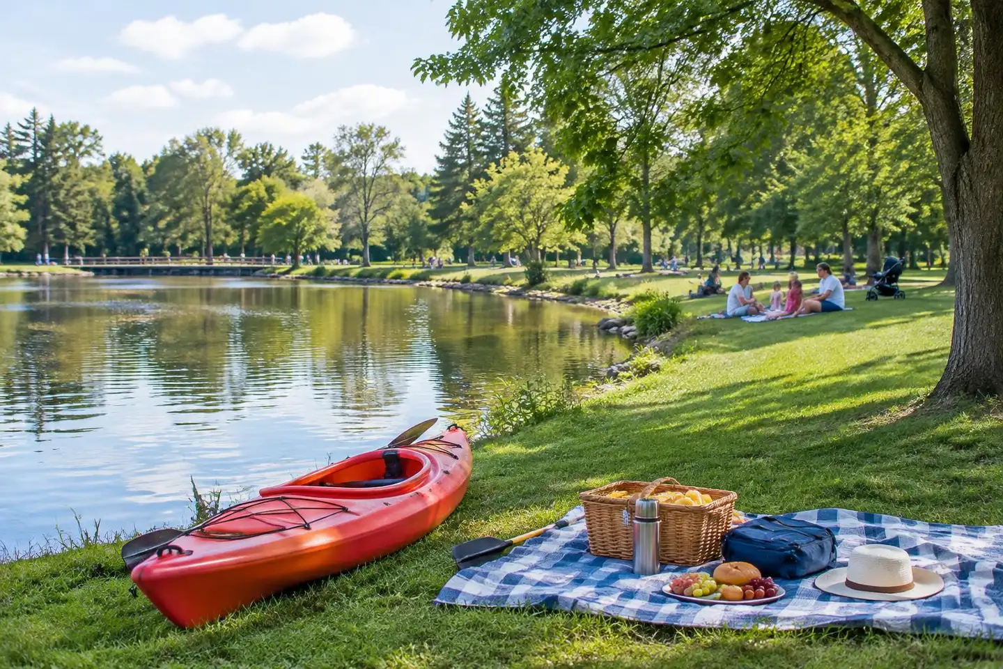
Illustrative image.
Start with the official map
Mecklenburg County Park & Recreation publishes greenway maps and posts closures. Look there first to choose a trailhead with parking and to confirm the segment you want is open.
After heavy rain
Creek-side greenways can flood or collect debris after storms. If there's been significant rain, check for closures and give the trail a day.
What to bring
- Water — summer mornings warm up fast
- A charged phone with the map saved
- A bell if you're cycling
Etiquette
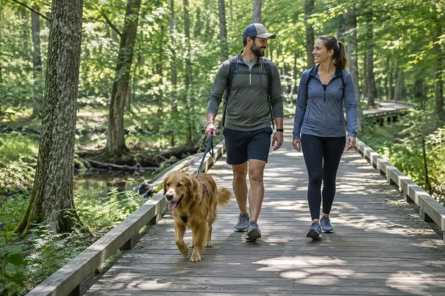
Keep right, pass on the left, and announce yourself. Keep dogs leashed and clean up after them.
Related guides & stories
Outdoors
Greenways & Parks Near University City

Broader area
Mallard Creek, Charlotte

Living & Relocation
Using the Blue Line for Everyday Trips from University City

Real Estate
Why a ZIP Code Doesn't Tell You Which Neighborhood You're In
Northeast Charlotte
Living in University City, Charlotte
Area guides
Neighborhoods

Living
Practical Living
Explore
Things to Do
More from the Journal

Real Estate
Buying a Home in University City: What to Check First
October 18, 2026 · 5 min read
Living & Relocation
Using the Blue Line for Everyday Trips from University City
October 18, 2026 · 5 min read
Real Estate
Why a ZIP Code Doesn't Tell You Which Neighborhood You're In
October 18, 2026 · 5 min read